Useful Info:
Length: 1.9 miles round trip
Elevation Gain: ~700 ft
Difficulty: 5/10
Terrain notes: steep switchbacks, dirt trail, dusty, shaded
Cost – Free! (after national park entrance fee)
Open – See park website
Useful Links:
Cleetwood Cove Trail on TripAdvisor
Cleetwood Cove Trail info
Boat tour info
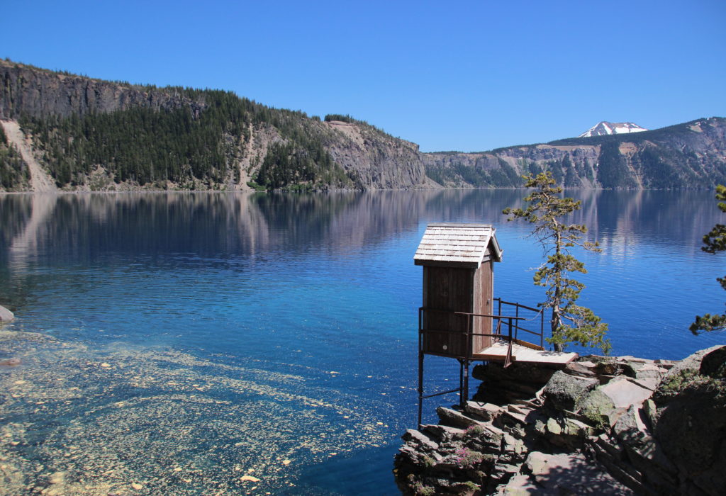
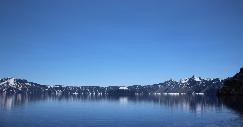
Cleetwood Cove Trail is the access point to the impossibly blue waters of Crater Lake (spoiler: I jumped in the water in my clothes because I was silly and planned not to swim. It’s like I haven’t lived with myself for decades). The trail is a short, steep out and back (down and up really) which comes in at 1.9 miles round trip. The trail is well maintained but dusty. This is also the trail to the dock for the ferry to Wizard Island when it is running. The ferry was not yet in operation when we did this hike on July 2nd of a snowy year; we were told it would be running in a couple weeks. At the bottom of the hike is rocky water access, at least one jumping rock, and bathrooms which could be used to change into swimwear.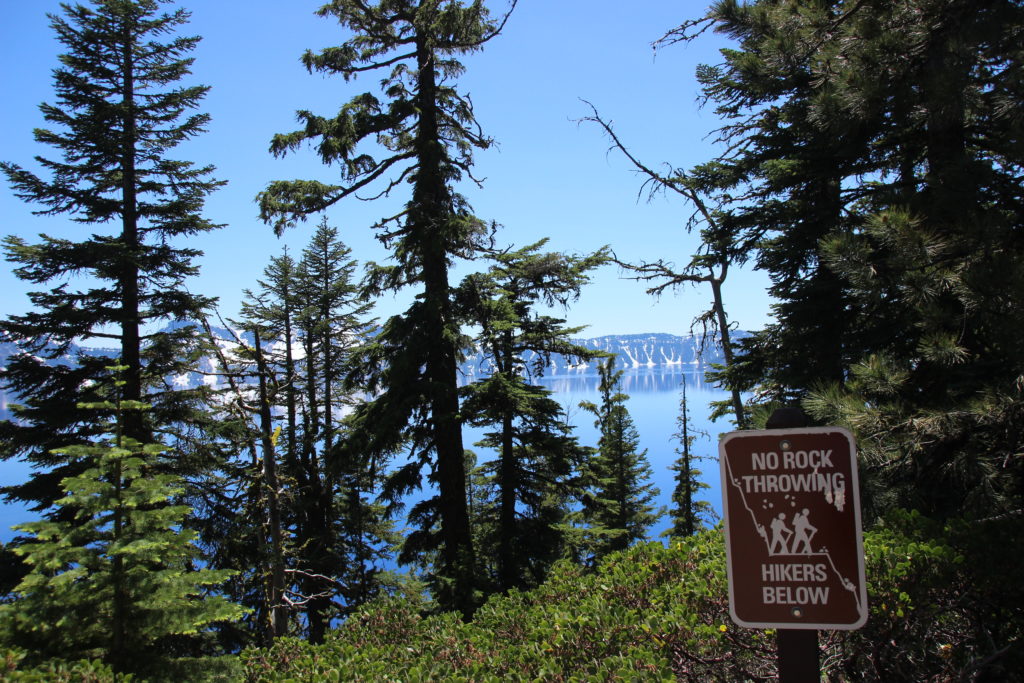
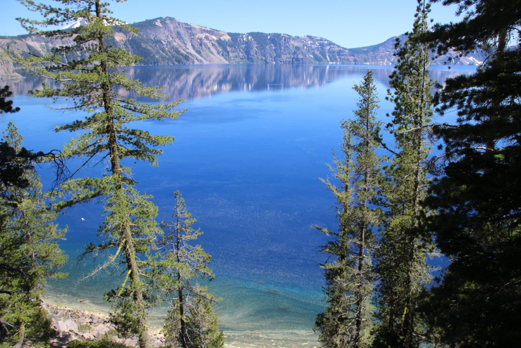
The trailhead was just off of West Rim Road. There was a small parking lot with portapotties, as well as overflow roadside parking. From the trailhead’s signs warning that this a strenuous hike for some, the trail begins switchbacking quickly towards the oh-so-blue lake below. You can see the water as you hike, which gives an idea of the quick descent. Although the trail has a significant grade practically the entire time, it was not so severe that I found my toes or knees in pain. It was, however, dusty and popular (I was there on a holiday weekend). The trail was full of National Park visitors in all range of attire, footwear, and physical ability. Flip-flops are not advisable, and shoes with well-worn soles may cause traction issues on the dust. There are some nice benches along the trail if you want to catch your breath. The trail is also spacious enough at most places to allow two-way passing where someone is stopped. It does, however, have unprotected drop-offs along the lake side.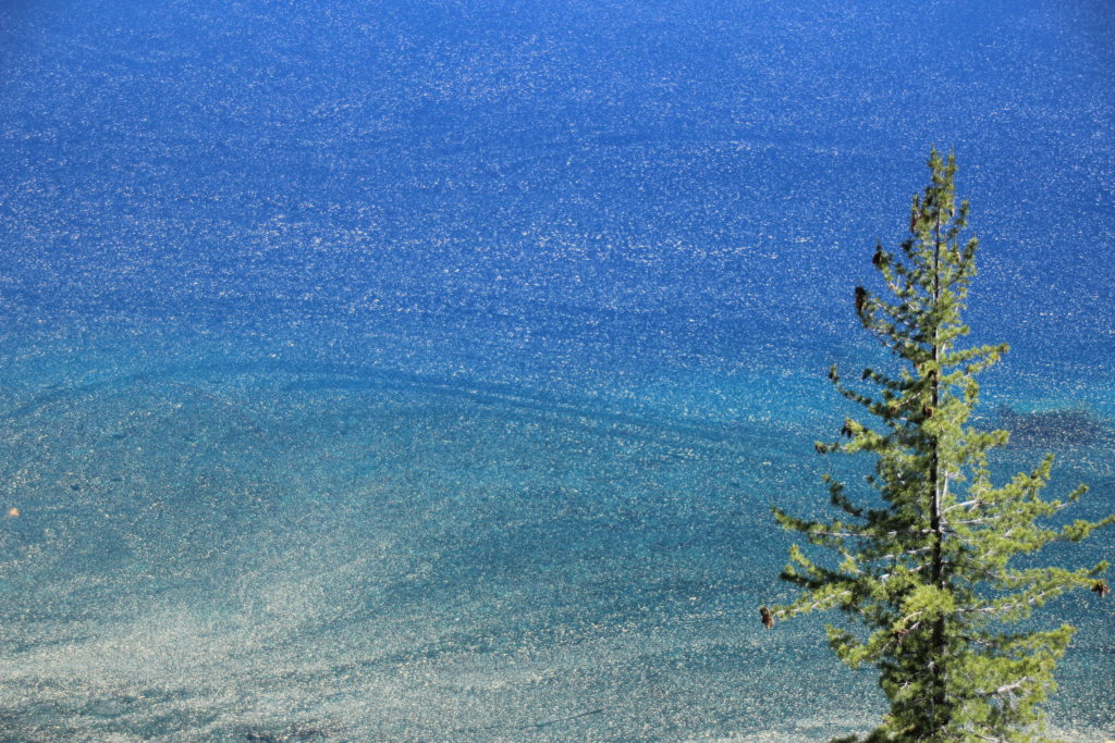
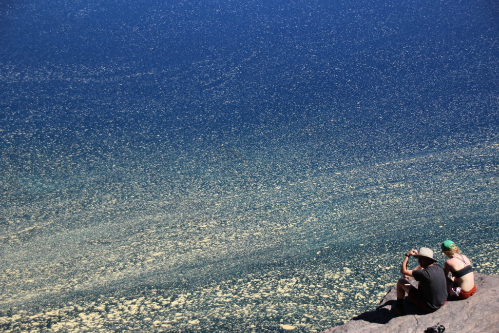
As we neared the lake, a pattern of yellow emerged on top of the deep blue. It was clumpy and swirly and mysterious. My group discussed if it could be pollen or algae, or what? Later online research confirmed that it was pine tree pollen and a natural part of the lake’s yearly stages. As we reached water-level, we saw that the pollen was not discouraging folks from scrambling over the rocky shore to swim or perch and stick their feet in.
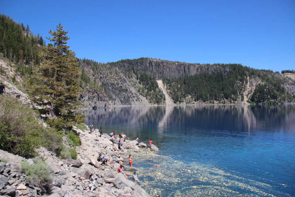
The trail continues past the first available places to head to the water so we kept following it around and found a bathroom structure, more people perched on rocks, and one particular boulder with a line for jumping into the water. The guys decided to change into their swim trunks and jump. We waited for them at strategic photo taking locations watching strangers jump, dive, and exclaim “aah! this is cold!”. Being July 4th weekend, it was crowded but not unmanageable.
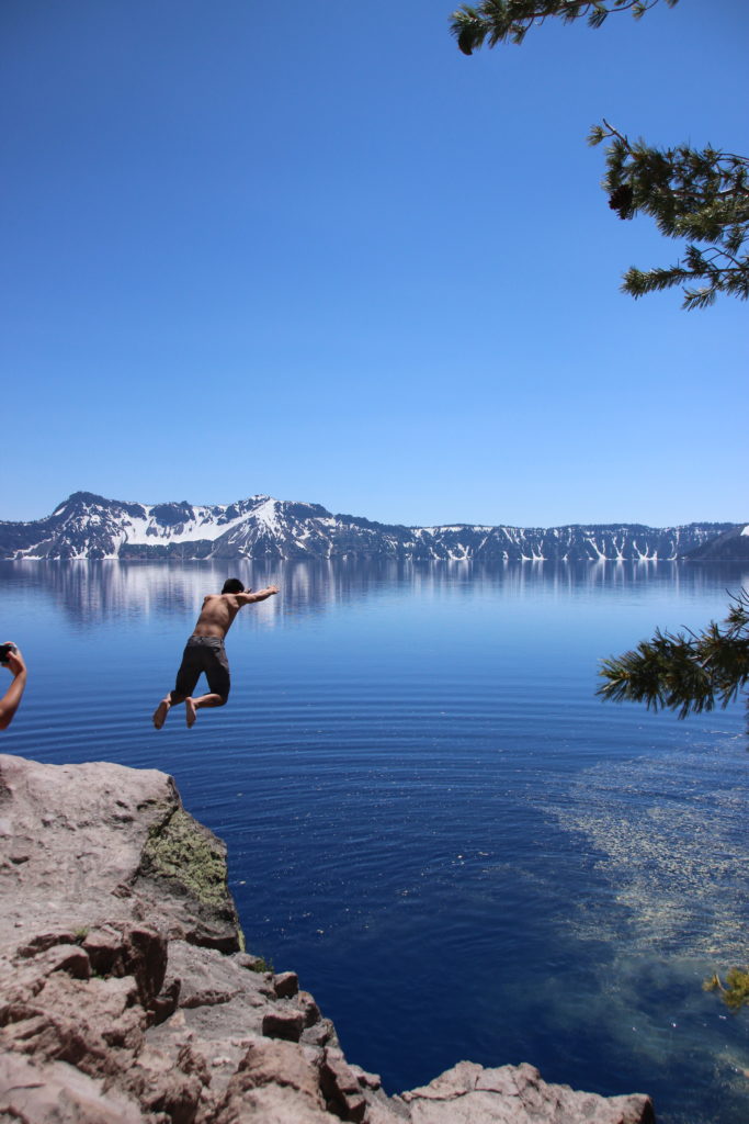
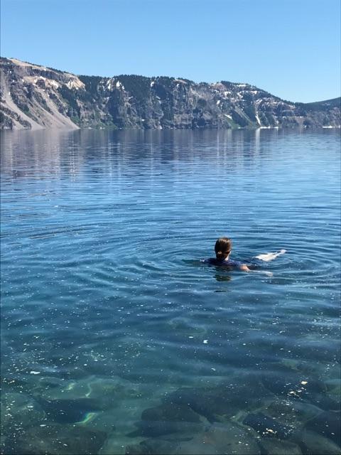
After the guys had jumped, and my friend Carlos’s beard had collected a bunch of the mystery yellow stuff, we headed back up the trail to find our own spot to stick our feet in. The water was cold but it was shallow here and not painful to keep your feet in (as some colder water can be). I was wearing my normal hiking uniform of yoga-pants and non-cotton T-shirt and wasn’t planning on swimming. That did not last. After sitting in the sun on a rock staring at the gorgeous lake and far rim backdrop and having the guys come over to join post jumping and hop back into the water, I had to get in. After all, how often am I at Crater Lake? I waded out a bit further and then pushed off the slippery rocks to swim. The water was noticeably colder farther from the shore and even if you found a spot to tread water or a standable rock to stay on, cool currents would occasionally pass by. Still it was totally manageable to stay in, and the coolness made the uphill hike back out seem more pleasant.
Eventually we got out and headed up the way we’d come down. It was late afternoon and the trail was somewhat shaded. Possibly because my clothes were damp and cool but the hike back up was not nearly as tiring as I had feared it would be coming down. It felt like good exercise that would earn me my camp dinner later that night!
Here are my elevation profile and trail map from Runkeeper:


